Project details
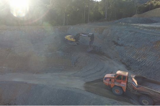
First phase of project involved re-alignment of an existing stream (catering flows from a 20ha catchment) and adjacent bank design to enable quarry excavation works. Challenges with this task included complex Civil 3D modelling of a meandering stream channel. Design of the bank included significant slopes (1H:2V) and maintenance/safety platforms, frequent liaison with Geotech for stability analysis of the works where the maximum elevation difference was over 30m.
Second phase involved design of quarry pits (depth more than 30m below sea level) with engineered slopes and platforms. Third phase involved modelling of fill operations to produce feasible flat platform options for the client to re-zone/re-develop the site. Extensive Earthworks modelling was conducted with fill operation depths over 40m and volumes over 1 million cubic meters.
Location
Whitford
Size
9ha
Timeframe
December 2020 – Ongoing